05 · NATIVE GIS APPS
Field data capture
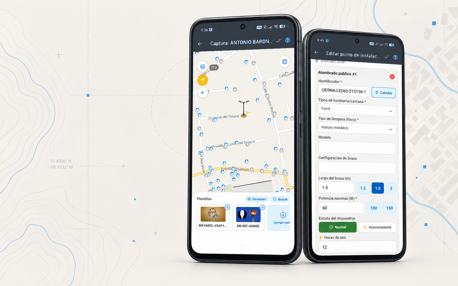
Native apps that run GIS on the device itself to capture information in the field, even offline: the day's work syncs at the start, and everything captured stays on the device until the next sync.
THE CHALLENGE
In the field there's poor signal, direct sunlight, limited battery and hundreds of points per workday. A slow capture or a lost record means going back to the same spot.
THE CONCEPT
The app should help the surveyor move forward, not get in the way. It works offline, saves every record on the spot and syncs whenever it can.
THE SOLUTION
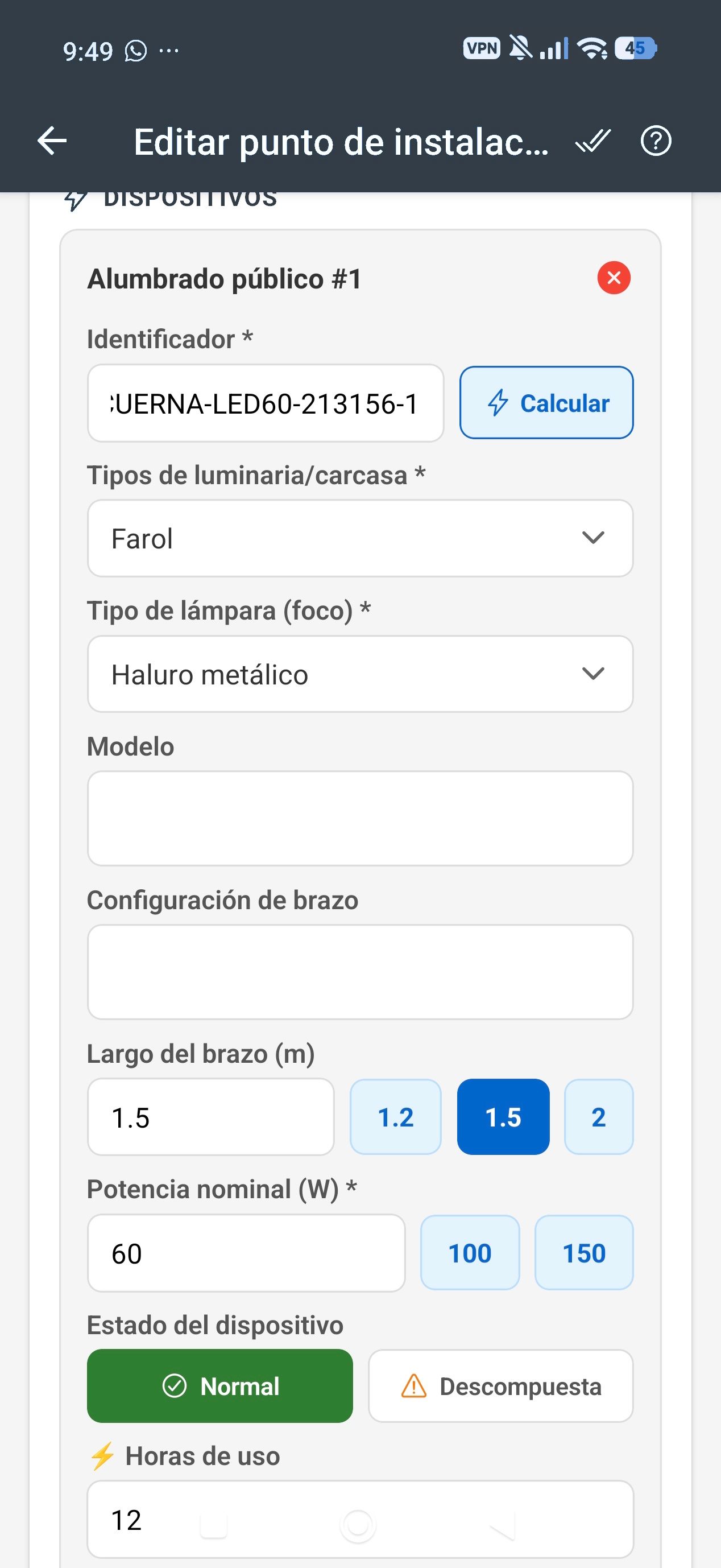
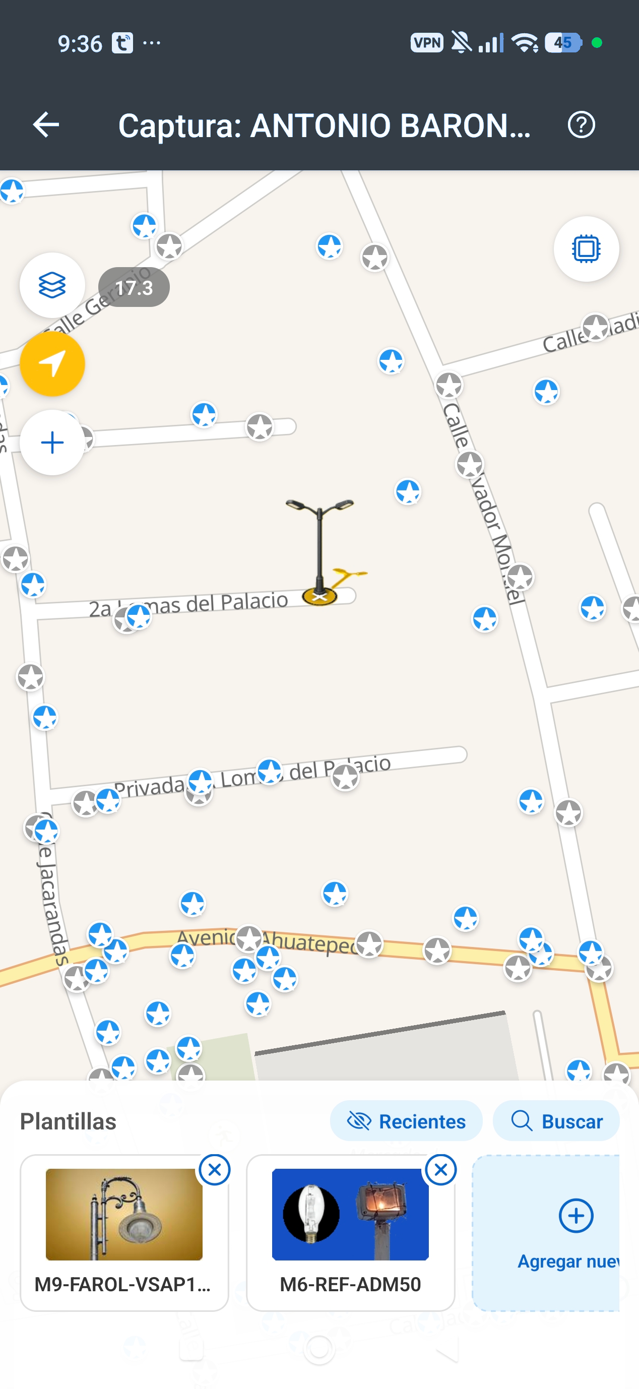
A native Android app with an offline map, guided capture with templates, and photos tagged with GPS and orientation. Sync is incremental and never duplicates records.
THE PROCESS
We go into the field with the surveyors to measure where time is lost.
We design short flows: templates, duplicating a point, grouping devices.
We test on real devices and measure battery, GPS and capture times.
We publish on Google Play and follow up with diagnostic logs.
APPLICATIONS
Fast capture
Templates for each installation point, GPS coordinates and photos with camera bearing.
Offline work
An upload queue, photos that upload in the background over Wi-Fi, and on-demand sync.
Previous survey on the map
The surveyor sees what was already there and only captures what changed.
Field review
Layers of pending points; the supervisor validates and the surveyor corrects.
Meters
A record of the metering equipment and the electricity service linked to each point.
We never use client brands without their permission.
CONTACT
Let's make something extraordinary.
Tell us about it and we'll reply by email.